- Home
- Urban projects
Urban projects
The territory of the Brussels-Capital Region is constantly developing. Learn more about our urban projects (French or Dutch)
- Urban issues
Urban issues
Housing, facilities, economy, land... perspective.brussels collects and analyses the data essential to the development strategy of the Region. Learn more about these urban issues (French or Dutch)
- Statistics and analyses
- Planning tools
- Who are we?
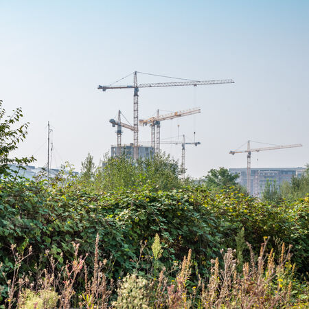
Tools and data for no net land take
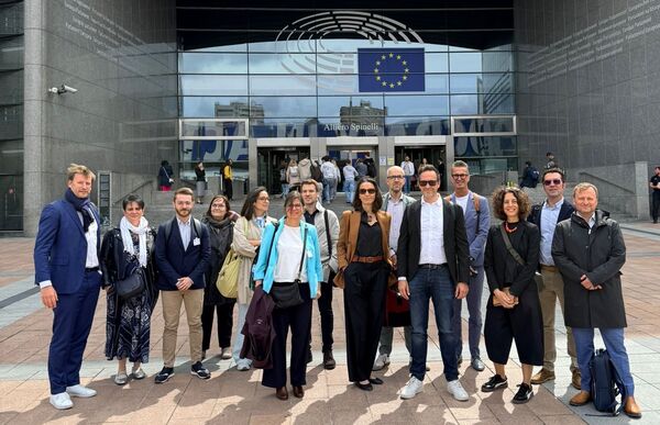
Join the webinar on 25 June
Conference
Wednesday 25 June 2025
14:30 > 15:30
Posted on 10 June 2025
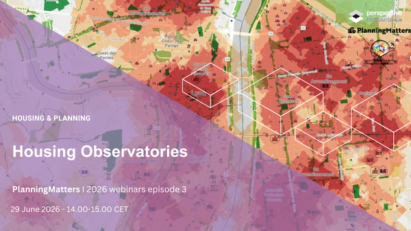
In the framework of the European platform of exchanges PlanningMatters, perspective.brussels is organising a series of webinars in 2025 on how European cities, metropolitan areas and regions are implementing no net land take.
A webinar is organised every month on a specific topic. The guest(s) of the month will present concepts related to the topic of the day, as well as interesting local practices.
The fifth episode in the series will look at the tools and data available to planners to achieve No Net Land Take. The Sitex (existing situation map of Brussels, first step in the updating of the Regional Land Use Plan “Share the City”) and SPADES projects will be presented.
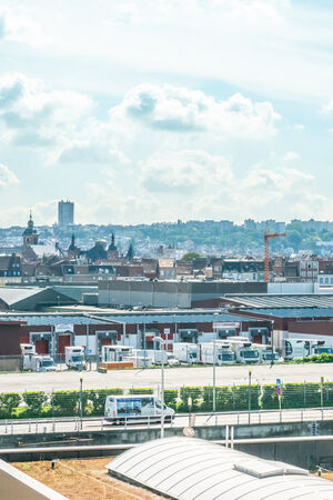
As part of the updating of the Regional Land Use Plan (PRAS), Perspective is inventorizing the actual use of land and buildings throughout the Brussels Region. This ambitious project should eventually provide the Region with a territorial monitoring system for tracking changes in land use and the built environment.
This project raises a number of questions:
- How can the right activity be recorded in the right place? How can we provide information on occupation at the finest possible scale, when the available data may be lacking?
- What is the impact of technical work (data availability, methodologies, available technology) on the policy to be implemented?
- How can we ensure a balanced level of information throughout the Brussels Region?
In the European SPADES project pilot regions and cities identify and test spatial planning and soil assessment tools, in order to preserve soil resources and combat land take.
Which tools and knowledge from soil science can help the development of soil-inclusive planning?